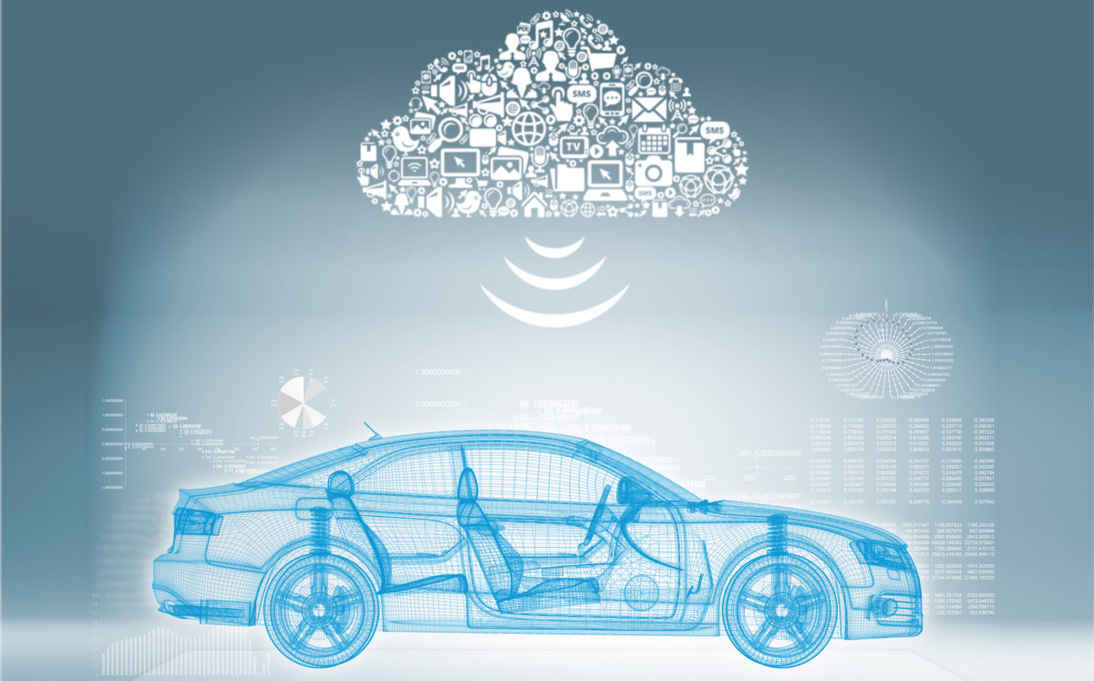
Vehicle navigation and mapping technology are advancing rapidly. The past few years have seen tremendous progress in terms of location referencing, communication protocols, user interface and even the emergence of lucrative new business models. These developments not only make driving safer and more convenient for drivers today, but they also position the industry that much closer to an autonomous future.
Location precision
It’s easy to type an address into a navigation system, but just how accurate is that address? The quality of any navigation system hinges on the accuracy of the data it uses. The trouble is that this data can be vague, inaccurate or even non-existent. UN figures suggest that 75% of countries don’t have a reliable addressing system. Even in those that do, travellers frequently find themselves misled by their navigation system. A single large city may have ten streets with the same name and a single post code can cover a wide area. This isn’t good for frustrated travellers, but it’s particularly challenging for the booming e-commerce industry.
The founder of London start-up what3words became so frustrated with the shortcomings of the current systems that he designed a new one. Specifically, the company has developed an algorithm that breaks down every location on the planet into 3-metre by 3-metre squares and assigns each square its own unique three-word marker. “We thought about using latitude and longitude, but it was too awkward and people didn’t like it,” explained what3words Co-founder and Chief Executive Chris Sheldrick. “We decided to simplify the entry of latitude and longitude by making it as easy as possible, and we did that by naming each square with three words.”
“We decided to simplify the entry of latitude and longitude by making it as easy as possible, and we did that by naming each square with three words.” – Chris Sheldrick, what3words
The approach introduces greater precision into the whole navigation process in a way that could prove pivotal to the arrival of self-driving vehicles in the future. In the near-term, it means greater convenience for drivers. Daimler is the first OEM to confirm plans to introduce the address system as a standard navigation solution in certain Mercedes-Benz models.
Input modalities
Nuance has been working with what3words, lending its expertise in voice control and digital assistants. An in-vehicle digital assistant needs to support multiple ways of entering a destination by providing a street address, a POI, a combination of both or a three-word address. “It should support different input modalities, including voice, touch, handwriting and new modalities such as gaze or gesture control,” elaborated Nuance’s Fatima Vital, Senior Director, Marketing Automotive.
One of the biggest technical challenges from Nuance’s perspective is the accuracy of the recognition. In the car, Nuance’s speech signal enhancement technology removes environmental noise to better identify the speaker. That helps to ensure that utterances from other passengers in the car don’t interfere with the recognition.
Service robustness and reliability are also pivotal. Cloud-only speech recognition can become a problem when network connectivity is poor. “It would be highly frustrating for users if they could not enter their destination by voice in areas of poor connectivity such as underground parking garages, rural areas, or dense cities like London,” Vital pointed out. Nuance, she explained, always recommends a hybrid, embedded-cloud solution, combining the flexibility of cloud speech and the reliability of embedded speech recognition, and ensuring users always have “a great user experience”, no matter where they are.
Location-based advertising
Some early movers are tapping navigation and user experience strategies to provide targeted in-vehicle marketing. Apps like Waze are making a notable contribution on this front. Waze combines customer search data with location information to provide targeted recommendations and offers. The navigation specialist has been working with automotive advertising platform PureCars to capitalise on advertising potential.
“It’s great to serve relevant ads based on location,” commented PureCars Chief Executive Sam Mylrea. If a user goes into Waze and searches for tyres, for example, the system will look at where that consumer is and pull up the most relevant places that sell tyres in a nearby area. Paid advertising will receive preferential treatment in terms of the ranking, provided the user remains within the parameters of ‘nearby’.
Augmented reality

Navigation isn’t just becoming more convenient, it’s also becoming safer thanks to the incorporation of augmented reality (AR) visuals. Harman and Mercedes-Benz have brought AR navigation into the new Mercedes-Benz User Experience (MBUX) infotainment system to more clearly and intuitively communicate actions to drivers. A camera provides a video image of the surroundings, which is then augmented with helpful navigation information. For example, arrows or house numbers could be superimposed directly onto the touchscreen of the display.
“AR changes the way drivers will use navigation in the future,” asserted Gerhard Neussle, Senior Vice President, Operations Daimler in Harman’s Connected Car Division. “It points out real world destinations, or what POI is behind the walls of a house. It also guides the driver very accurately in inner-city driving.”
“AR changes the way drivers will use navigation in the future. It points out real world destinations, or what POI is behind the walls of a house. It also guides the driver very accurately in inner-city driving.” – Gerhard Neussle, Harman
At the moment, the in-car display is used for showing AR but as technology evolves it will be projected onto the windscreen. “In just a couple of years the car’s windscreen will become a transparent display and offer new opportunities,” Neussle predicted. As cars become increasingly autonomous and drivers monitor the navigation system less frequently, AR could be used to display various types of information. “The system could inform vehicle occupants about all sorts of information from the environment or their destination and POIs along the way,” he suggested. All this information can be mapped to the real world. For example, as the car passes a theatre, AR can provide information on show times.
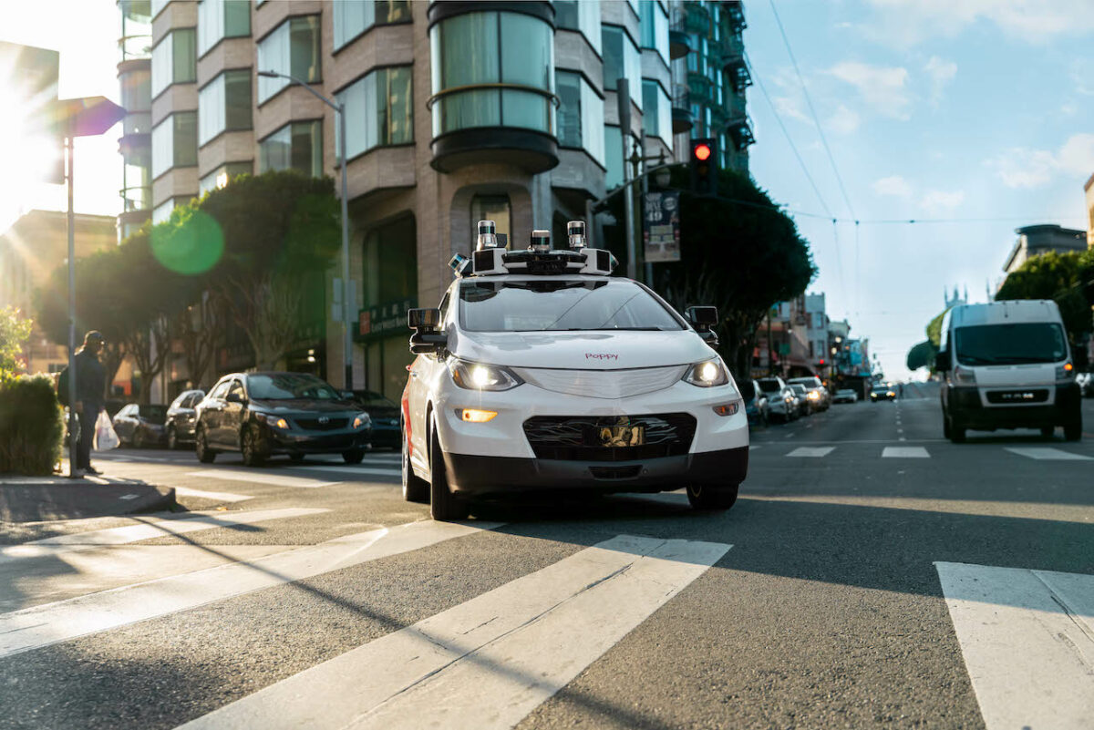
Towards autonomy
Elektrobit is also preparing for an autonomous future and is readying the necessary navigation and mapping systems. “The digital maps required for automated driving must be much more detailed and precise than navigation maps, down to the number of lanes, the curvature of the road, etc,” noted Martin Schleicher, Head of Business Management at Elektrobit. “Many of these things are not terribly relevant for standard navigation as we still rely on the driver.”
Maps for autonomous vehicles (AVs) also need to be up-to-date in real-time. If there is road construction or a lane closure, it needs to be reflected in the map. To keep these maps up-to-date, it makes sense to use information from the vehicles on the road. “We need to enable cars to collect information if they find something. If there is a front camera in the car that can identify changes on the road ahead, then the map needs to be updated so that it can send the right information to the cloud. That allows the map provider to update the map accordingly,” he elaborated.
Maps alone won’t be enough to ensure safe and effective AV operation, but they will provide a piece of the wider puzzle that also includes a mix of cameras, radar and LiDAR. “Maps become another element to increase confidence in the accuracy of the camera and the radar inputs,” Schleicher told Megatrends.
“The digital maps required for automated driving must be much more detailed and precise than navigation maps, down to the number of lanes, the curvature of the road, etc.” – Martin Schleicher, Elektrobit
Before the industry achieves widespread Level 5 autonomy, many cars may offer limited self-driving functionality such as on motorways. In this case, the navigation system will need to be able to detect when it is entering and exiting the motorway, and hence when to allow the self-driving option. “From the information in a map, you may know that the highway will end five miles ahead. The car’s sensors cannot identify that information and there is no way that a camera can look that far ahead,” warned Schleicher. In this case, the navigation system would need to alert to driver in time to re-engage so he can safely resume control.
These are areas on which Elektrobit is working together with OEM partners. In parallel, map providers are working on collecting and enhancing the map data they already have with the sort of detailed information required for automated driving. The wide variety of developments taking place with these and other players should ensure that, in the race to autonomy, safety, convenience and profitability are not lost along the way.
This article appeared in the Q2 2018 issue of Automotive Megatrends Magazine. Follow this link to download the full issue