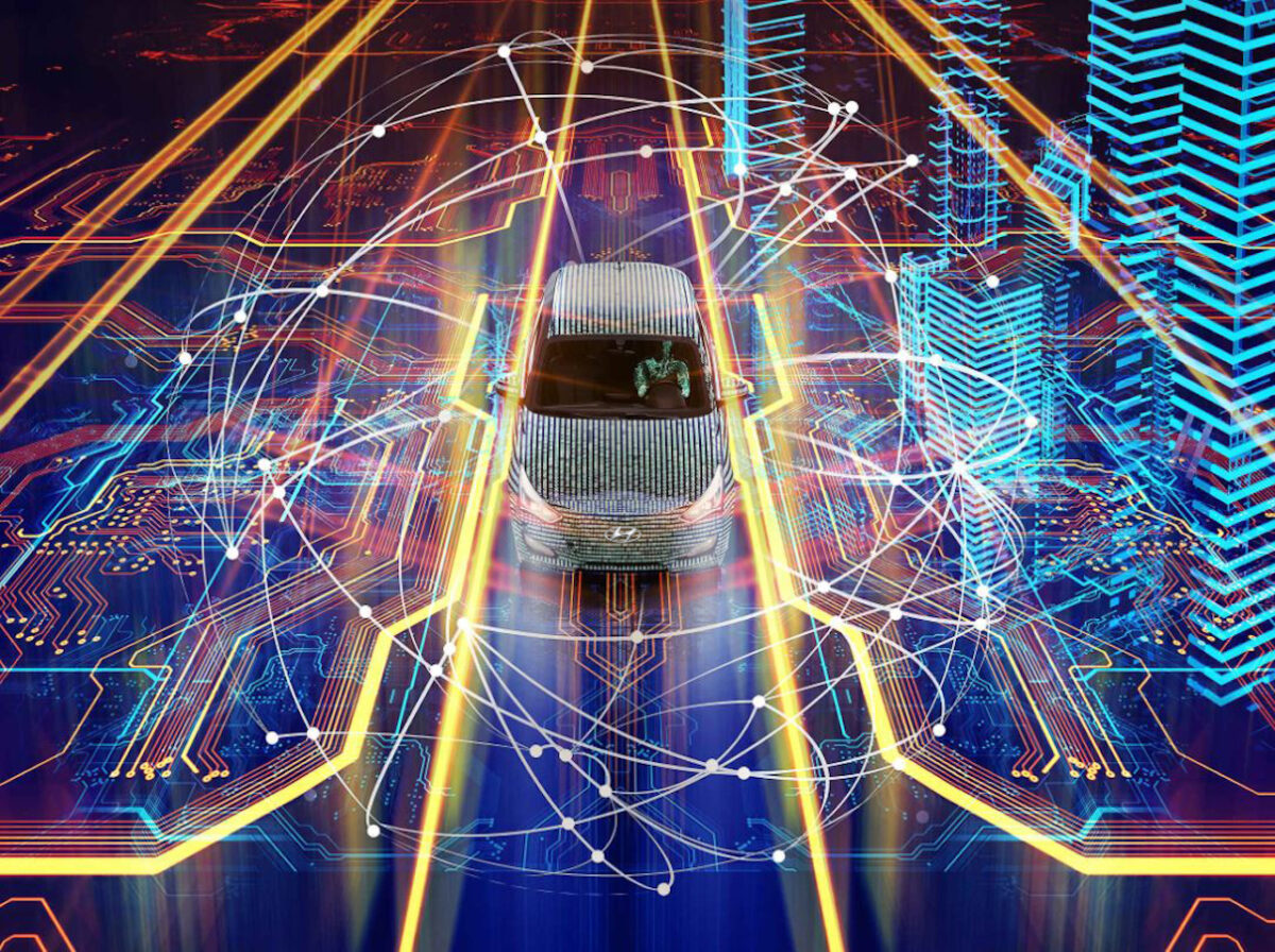
For ride-hail operators, location intelligence can mean the difference between a service going boom or bust.
While the business hinges primarily on booking as many rides as possible, it is also about ensuring a quality experience to encourage return customers. If a driver is late or the journey takes significantly longer than expected, the rider could look elsewhere in future. Accurate location data benefits both parties in this sense.

Ride-hailing brings with it an element of trust. Rather than being hailed on sight, a taxi can now be pre-booked via an app. The ride-hail operator then needs to reach the customer as quickly as possible and whisk them to their next destination, ideally sending the nearest available vehicle in the fleet. For the process to run smoothly, the driver needs to trust that the customer is where they say they are, and the customer needs to see that the driver is en route.
According to Leen Balcaen, Senior Director Industry Solutions, EMEAR at HERE Technologies, it is a case of making the most of the available data. “The mobility challenges we see centre around operations management, user centricity of the service and of course geo-location,” she said during a recent Automotive World webinar. “Pickup location is key because if the driver cannot find the customer, the risk is that they will go with another provider. Within the ride-hailing business it is all about the accuracy of the estimated time of arrival, because that is what end users need.”
New mobility
Today, ride-share operators are also considering the introduction of other modes of transport. In addition to the conventional passenger car, the addition of so-called ‘micro-mobility’ options such as pedal-assist bicycles, e-scooters and electric mopeds create new challenges and opportunities for location intelligence specialists.

Rather than picking from a couple of select routes by car—deciding between a motorway or single-carriage roads, for example—the likes of an e-scooter will be able to take more direct routes, potentially cutting through a park or using a cycle path. There may be numerous different routes to the same destination, and forming that estimated time of arrival can be further complicated by other factors that arise on the fly.
“Kick scooters can even pass through traffic if there is a traffic jam,” added Nick Kelter, Director of Product Management at HERE. “This means you need to subtract the traffic time from the equation, and this comes down to having the right data. Understanding all of the specific routes on which scooters and bicycles can ride will lead to a better estimated time of arrival.”
Scooters do bring a greater degree of freedom, but they are not necessarily permitted to travel everywhere and anywhere. Pedestrianised areas and pavements, for example, may be off limits and the app in question needs to take that into account. “One of the strengths we have in our organisation is that we follow government regulations,” added Balcaen. “If something is not allowed, we will not introduce it—you need to think about safety of the users, and this is a standard we uphold.”
To view a replay of the full webinar, click here.


