How does a mapping company make driving safer? Navigation apps and accessories have come a long way since their days of making headlines for the wrong reasons, whether sending drivers down unsuitable roads or plotting routes through construction sites. For many drivers, they have become indispensable, and are arguably already serving a safety function by alerting drivers to built-up traffic, if not re-routing them entirely.
Autonomy promises safety improvements across the board, with the prospect of Vision Zero—a future free from deaths and serious injuries on the road—now taken seriously by many automakers and suppliers.
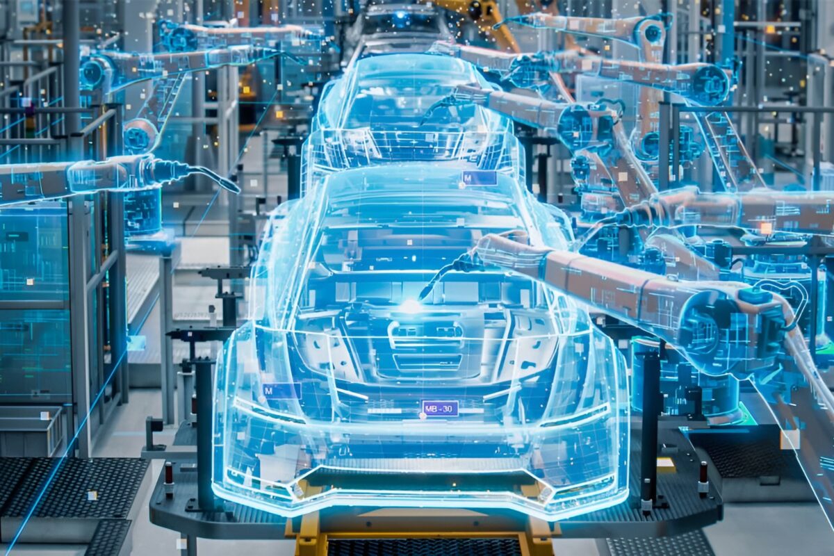
But an industry-wide reality check has pushed back the autonomous vehicle (AV) timeline, with additional robustness and redundancy still required. The sensor challenge is proving harder than predicted, and AVs require yet more data to make sense of the world.

George De Boer is Global Director, Marketing at TomTom. As he explains, that data can be delivered via a new generation of maps, which are rich in data besides mere location. TomTom is evolving as a company: mapping remains the fundamental endeavour, but today, the company describes itself as a location technology company, capable of increasing amounts of dynamic content and information.
Perfect pizza
“Mapping is the basis of everything,” he affirms. “Compare it with a pizza, and mapping is the dough, on top of which everything sits. The question becomes, what goes on top of it, and how is it cooked? Traffic information, speed limits, connected EV services, fuel prices, weather information—all of this is a new layer that brings the map to life.”
But along with examples of information useful to the driver, the same maps can deliver information to the car. This could make an immediate impact on the increasing numbers of vehicles on the road with advanced driver assistance systems (ADAS), the first steps towards autonomy. TomTom’s ADAS maps add further layers of information such as the elevation and curvature of the road, which can be used by features such as advanced cruise control. At CES 2020, TomTom revealed Daimler Trucks is using this to power its Predictive Powertrain Control (PPC) system.
“There are three principal benefits,” says de Boer. “For drivers, it’s more comfortable, because they can pay better attention to the road and focus on steering. It’s also safer, because a vehicle can anticipate something far earlier than a human could, and a map helps it see two miles ahead. Finally, it’s also cleaner, enabling fuel savings of up to 5% or more.”

Likewise, he adds, it could improve the range of electric vehicles (EV). As the electrification of passenger vehicles continues, the dynamic services around them will evolve. Charging stations are already highlighted as static points of interest on today’s maps, but TomTom’s connected EV Services show their availability. With deeper integration into the car, the EV and routing services also determine the optimum points to stop and charge over long distances.
Going HD
However, further levels of autonomy will require more detailed maps: specifically, HD maps, built to be read by machines. The large majority of the industry agrees. For de Boer, there are three major reasons why: positioning, perception, and path-planning.
When it comes to positioning, there is too much offset in the GPS signals used in current systems. AVs will need to know exactly where they are, right down to which lane they are using. Current test models use sensors to help with this, but as de Boer points out, current LiDAR prices put the AV far beyond the price range of potential customers. HD maps could potentially allow for use of less costly options and bring AVs to the scale required.
HD maps will also bring additional perception by filling in gaps for sensors. Not even the most advanced sensors can see past large trucks or round corners, whereas maps can reliably provide data on information like traffic light locations and other road infrastructure.

For path planning, says de Boer, HD maps could in the future route vehicles with even more precision and safety than currently possible. “If you imagine driving down a five-lane highway, you often need to know in advance which lane to ride to take an exit,” he says. “Without an HD map, there could some last-minute lane-changing, which makes for an uncomfortable and possibly unsafe ride.”
But the potential of HD maps is matched in magnitude by the challenge of building and deploying them. Gathering the data required via mapping vans is one thing, but in order to be useful, HD maps need to be as close to real-time as possible. Whereas a human driver can adapt and work with a three-month old map, an AV would struggle to do the same. Therefore, maps are stored in the cloud. When sensors detect an anomaly, data is returned to the system, and updates are made where necessary.
Then there is the creation of these maps from raw data. For this, de Boer says artificial intelligence (AI) is playing a critical role. “Consider our mapping vans, which are driving around, equipped with LiDARs and cameras,” he says. “They are collecting some 700,000 measurements every second. This sensor data needs to be transformed into road lane markings, barriers and traffic signs for AVs, and this can’t all be done by hand.” Already the process is being automated.
As for the distribution of the product to vehicles, work on scaling HD maps is essential, emphasises de Boer: 5G promises a better-connected world, but the fact remains that even in developed markets, weak 3G connections and blackspots remain a fact of life, and connectivity remains limited. “We need to be able to use lower bandwidth channels to get to the car,” he says. “And so, although we collect a lot of information, we need to package it in such a way that it is easy to digest.”
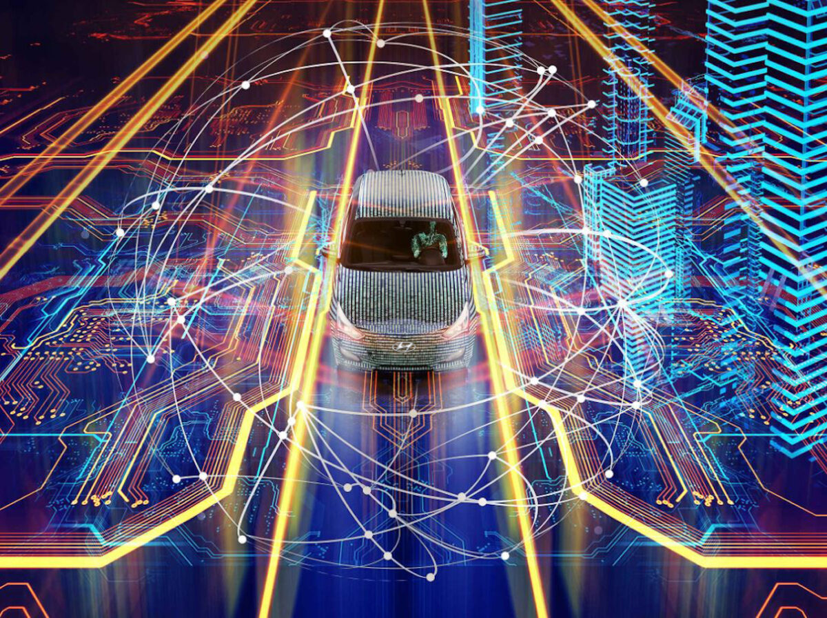
There won’t be one single technology that makes autonomous driving possible It’s a combination of different sensors, with levels of redundancy to ensure safety
As such, vehicles only need to download the relevant data, based on destination or most probable path. The path is cached in the vehicle, and so when it loses connectivity, it will still be with the driver. Additional information is streamed where needed, “and that bandwidth is comparable to a couple of WhatsApp messages,” says de Boer, “nothing so intensive as Netflix, for example.”
The industry remains adamant that the self-driving car should be able to operate safely whether online or offline. De Boer agrees with the necessity for this, but also suggests that HD maps have a clear and critical role to play: they are one system among many in the fusion of technology that will take us closer to Vision Zero.
“There won’t be one single technology that makes autonomous driving possible,” he concludes. “It’s a combination of different sensors, with levels of redundancy to ensure safety. It will take a while before we reach a point where a car can, for example, safely drive itself off-road in India. A human could, whereas we don’t even have navigable maps for every road in India.” The AV project is a gradual one, but ADAS maps and HD maps could deliver safety benefits way before their arrival. In these respects, the incentive for development is clear.